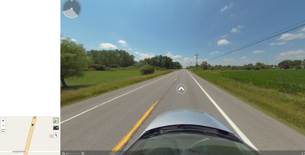
Client needed Virtual Street View Tour image files to be displayed as 360 panorama. Also needed navigation arrows on street as on Google Street View. All this had to be connected to a Leaflet map.
- Leaflet JS (for interactive web map)
- Photo Sphere Viewer (for 360° panorama view)
- Turf JS (for distance and bearing calculations)
- PHP (reading SQL database and EXIF data from image files)