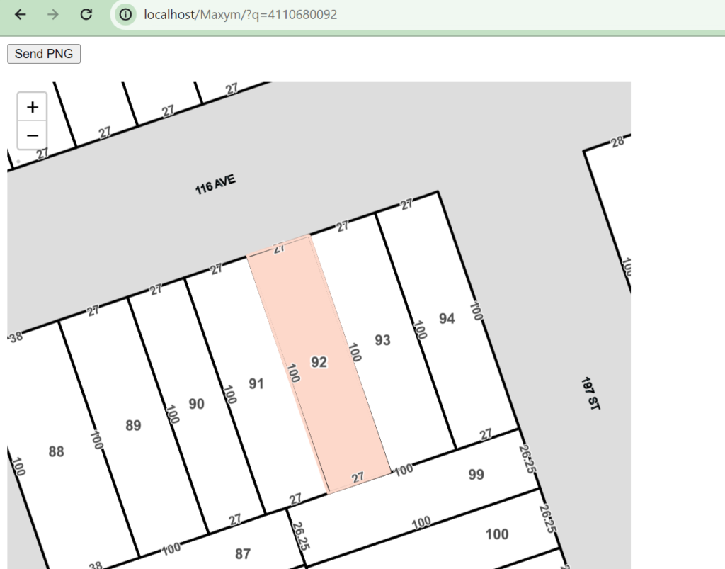
Developed an interactive property information mapping solution utilizing ArcGIS API, Mapbox GL JS, and Leaflet JS. The project involved creating a web-based map interface that displays property boundaries and highlights selected objects based on provided IDs. Key features included interactive layers with zoom-in/zoom-out functionality, a centered and highlighted object, and a "Generate Image" button that exports the map as a static image in PNG format using canvas.toDataURL.